Boulder Mountain
The name Boulder Mountain is commonly used to refer to the high plateau area, including the Aquarius Plateau, between Hwy 24 (Loa/Torrey) and Hwy 12 (Escalante/Boulder). It's one of two major high-elevation lake areas in Utah.
Boulder Mountain | Photo Gallery


Boulder Mountain
There are approximately 80 small lakes on Boulder Mountain (depending on how loosely you use the term "lake" - some are pretty small). Most waters are managed as fisheries. Several streams also contain significant fish populations and provide good angling opportunities.
Most of the high lake areas in the US are located in the north and have harsh climates. Snow piles deep on Boulder Mountain, but it has a considerably longer fishing, hiking and camping season than the Uintas or Wyoming's Wind Rivers.
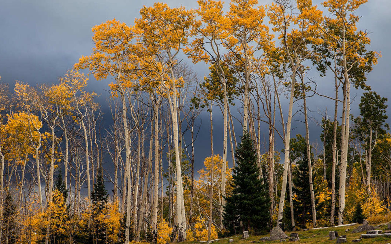
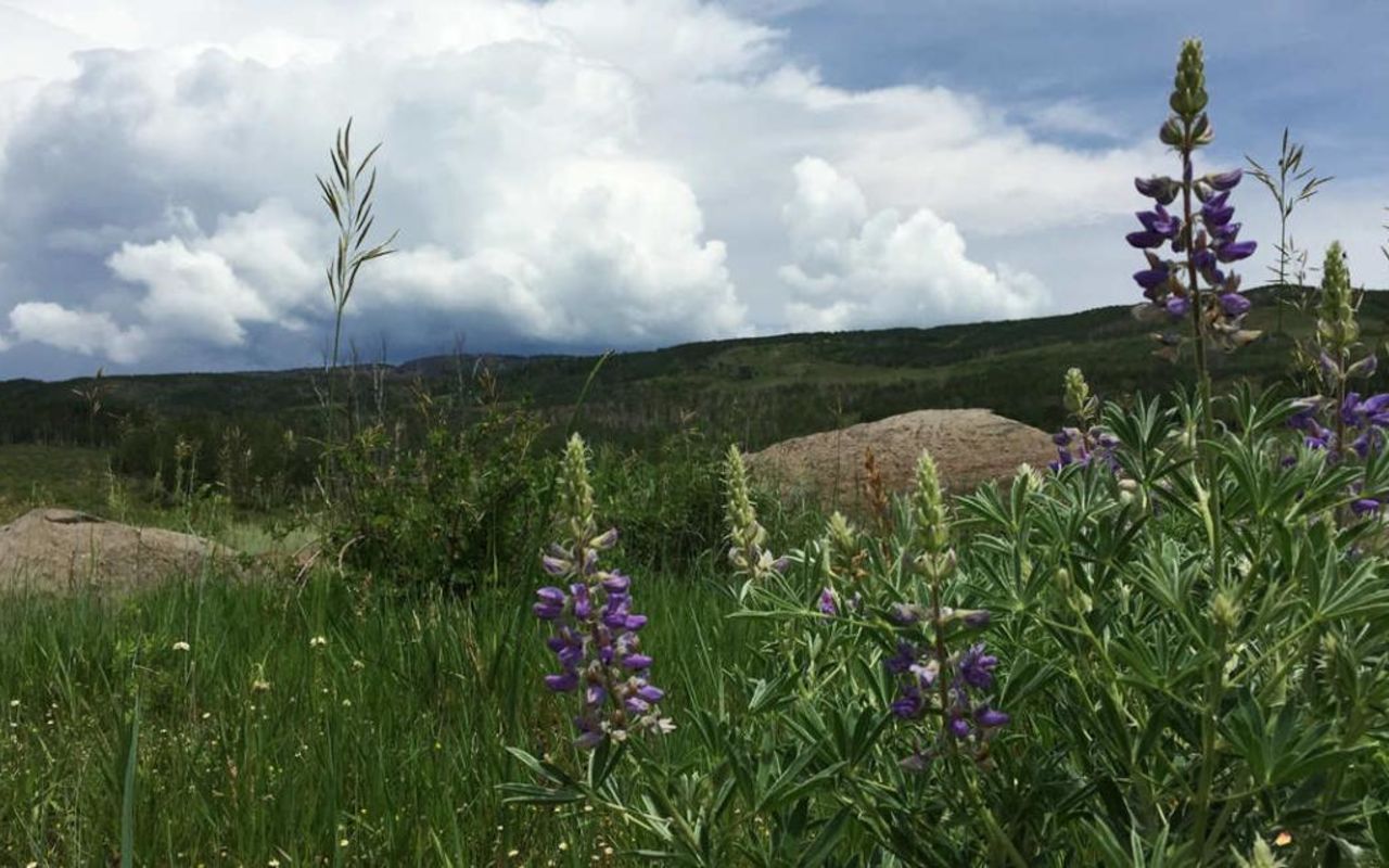
Much of the mountain is heavily forested and the land is managed by the Dixie National Forest.
There are countless roads on the mountain, providing direct vehicle access to many lakes. Of the lakes not accessible by vehicle, virtually all are within three miles of a road. (Check with the Forest Service, because there is a movement underway to close some unimproved roads, to prevent erosion and improve habitat for fish and wildlife.)
Most back roads are extremely rough (in harmony with the name Boulder Mountain), and can only be traveled using high clearance, four-wheel drive vehicles.
Long backpack trips are possible on the mountain and lead through remarkable country with incredible scenery.
Highest Point
Bluebell Knoll, at 11,313 feet.
Largest lake
Blind Lake, covering 52 acres, with a maximum depth of 52 feet.
Key Attractions
This is one of the best places to catch large brook trout. The east slope overlooks Capitol Reef National Park and the south slope overlooks Grand Staircase-Escalante National Monument, both offering spectacular scenery. Box Death Hollow Wilderness Area is located on the southern edge. Powell Point, on the southwest edge, provides an amazing panoramic view. Small streams draining from the mountain into the Escalante (Boulder Creek, Calf Creek, Sand Creek and Pine Creek) offer good fishing in remote, rugged canyons with classic red rock and sheer cliffs; some of these streams are located far from any roads.
Best Fishing
Flies and jigs in dark colors are usually productive. Small lures are also effective. We're often asked to list lakes that hold big fish. We choose not to do that because these lakes are fragile and we don't want them to be overrun. In general, lakes with fast fishing are full of small fish. Lakes with slow fishing may hold trophies. More fishing information
Seasons
Highways 12 and 24 are kept open year-round, except during major storms. Backroads become snow packed in late October or November. Roads on Boulder Top don't clear until early or mid-June. Most Boulder Mountain lakes are closed to fishing from Nov. 1 through April 23 (check the current fishing proclamation).
Information
Dixie National Forest, Teasdale District: (435) 425-3775; Escalante District: (435) 826-5400.
REQUEST INFORMATION
TRAVEL BUREAU INFORMATION
GARFIELD COUNTY TOURISM BUREAU
55 S Main St.
Panguitch, UT
800-444-6689
Escalante Weather
Average Temperature
Average Precipitation
Average Snowfall
Articles
View AllHappy Trails in Piute County
What do Delano Peak, the Paiute ATV trail and Butch Cassidy all have in common? Utah’s Piute County,...
8 Secrets to Sustainable Travel in Park City
Want a big adventure to Park City without a big environmental footprint? Utah.com can help you explo...
Utah County Is Festive As Heck
Fireworks, parades and corn on the cob — oh my! Utah.com has the scoop on the best festivals and fai...
Natural Bridges National Monument: A Hidden Gem, Not a Second Fiddle
An under the radar destination that should be on your radar. Learn all about Natural Bridges, Utah a...
Plan a Guys Getaway in Vernal
Planning a guys trip? Why not hit the ATV trails in Vernal, Utah with your crew? With all kinds of w...
Treat Yourself to a (San Rafael) Swell Winter
The San Rafael Swell is one of Utah’s hidden gems, and it gets even more hidden in the winter. Utah....
Plan a Triathlon of Fun in Greater Zion
Looking for things to do in St. George this fall? In addition to the IRONMAN 70.3 World Championship...
Color Me (Insert Emotion Here): Where to See Cedar City’s Feel-Good Fall Foliage
Richly hued views await you in southern Utah this autumn. Peep the changing leaves on a scenic drive...
Play Outside and See a Play Outside in Cedar City
Take a visit to Cedar City, Utah, and see why its access to both world class theater and stunning ou...
Mapping Out Utah’s Tastiest Cuisine
Getting to know the Beehive State means experiencing its sites and unique flavors. Discover both whe...
Get Your Peach Thrills in Box Elder County
Utah’s Box Elder county is a peachy paradise — part mountain range, part desert, part orchard and al...
9 Highest Peaks Across Utah
Take a peek at the tallest peaks in Utah. From Kings Peak to the Deep Creeks, Utah.com gets to the t...
Paving the Way for Everyone: All-Access Trails in Utah
From a wheelchair accessible waterfall trail to a lakeside boardwalk laden with wildflowers, these U...
Local Legends in Utah
Ever been curious about urban legends in Utah? Utah.com fills you in all things folklore with our gu...