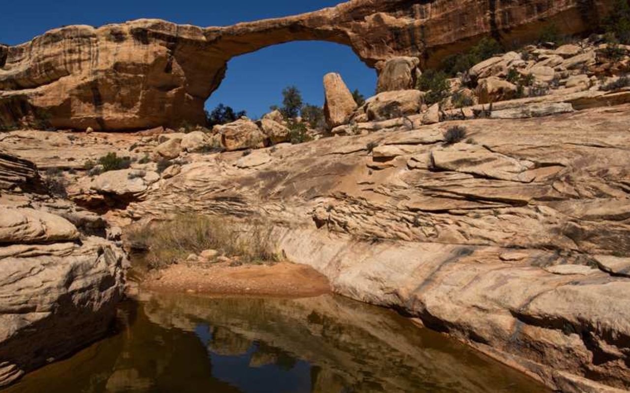
Natural Bridges Owachomo Trail
Owachomo is a very photogenic natural bridge located in Natural Bridges National Monument. A sort, easy path leads into the canyon and up under the bridge. The canyon is not very deep at this point and so it is easy to get right down to the bridge.
Trailhead
(37.585, -110.013)
The trailhead is located along the Bridge View loop drive in Natural Bridges National Monument. An easy walk descends from the overlook along the rim drive. There are several sets of uneven stone steps along the trail.
Owachomo Bridge
(37.5823, -110.014)
From Owachomo, hikers can return the way they came in or make a loop up to other bridges. The loop from Owachomo to Kachina and out is 4.5 miles total. From Owachomo to Sipapu and out is 8.6 miles.
Natural Bridges Owachomo Trail | Photo Gallery

Owachomo Trail
Location
Get DirectionsLake Powell Weather
Average Temperature
Average Precipitation
Average Snowfall
Articles
View AllHappy Trails in Piute County
What do Delano Peak, the Paiute ATV trail and Butch Cassidy all have in common? Utah’s Piute County,...
8 Secrets to Sustainable Travel in Park City
Want a big adventure to Park City without a big environmental footprint? Utah.com can help you explo...
Utah County Is Festive As Heck
Fireworks, parades and corn on the cob — oh my! Utah.com has the scoop on the best festivals and fai...
Natural Bridges National Monument: A Hidden Gem, Not a Second Fiddle
An under the radar destination that should be on your radar. Learn all about Natural Bridges, Utah a...
Plan a Guys Getaway in Vernal
Planning a guys trip? Why not hit the ATV trails in Vernal, Utah with your crew? With all kinds of w...
Treat Yourself to a (San Rafael) Swell Winter
The San Rafael Swell is one of Utah’s hidden gems, and it gets even more hidden in the winter. Utah....
Plan a Triathlon of Fun in Greater Zion
Looking for things to do in St. George this fall? In addition to the IRONMAN 70.3 World Championship...
Color Me (Insert Emotion Here): Where to See Cedar City’s Feel-Good Fall Foliage
Richly hued views await you in southern Utah this autumn. Peep the changing leaves on a scenic drive...
Play Outside and See a Play Outside in Cedar City
Take a visit to Cedar City, Utah, and see why its access to both world class theater and stunning ou...
Mapping Out Utah’s Tastiest Cuisine
Getting to know the Beehive State means experiencing its sites and unique flavors. Discover both whe...
Get Your Peach Thrills in Box Elder County
Utah’s Box Elder county is a peachy paradise — part mountain range, part desert, part orchard and al...
9 Highest Peaks Across Utah
Take a peek at the tallest peaks in Utah. From Kings Peak to the Deep Creeks, Utah.com gets to the t...
Paving the Way for Everyone: All-Access Trails in Utah
From a wheelchair accessible waterfall trail to a lakeside boardwalk laden with wildflowers, these U...
Local Legends in Utah
Ever been curious about urban legends in Utah? Utah.com fills you in all things folklore with our gu...