Capitol Reef Scenic Drive
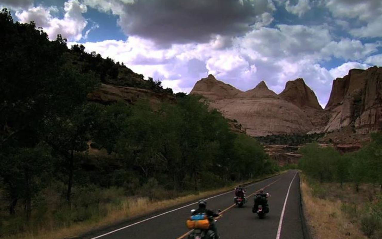
A road called the Scenic Drive winds through the heart of Capitol Reef National Park, allowing visitors to see many of the park's famous formation. It also provides access to popular trailheads. The road is paved and is suitable for automobiles of all kinds. The drive begins near the Visitor Center, where you can pick up a guide to sights along the route.
You must pay a park entrance fee before you can take this drive. The America The Beautiful Pass provides entrance in lieu of the fee.
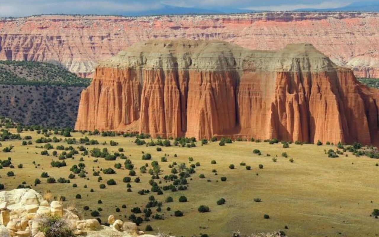
Views are interesting in every direction. From the road you can see sheer sandstone cliffs, uniform layers of shale and rocks that have been lifted and folded and carved into shapes that stir the imagination. Exposed rock layers provide glimpses into various periods of earth's history.
Historic Fruita
Near the Visitor Center and campground you will see historic fruit orchards that were first cultivated by pioneers in the late 1800s. Pioneers established a settlement known as Fruita here and successfully grew fruits and many other crops. Relics remain from that era and are considered important historic features protected by the park.
The Historic Gifford Homestead, located along the Scenic Drive, is typical of rural Utah farm-houses of the early 1900s and is open during the summer season. At the homestead you can see cultural demonstrations; some pioneer-style homemade items are available for purchase.
Grand Wash
From the paved scenic drive, a twisting dirt spur road takes visitors into Grand Wash. The spur ends after a mile but hikers can follow a marked tail farther, into the most spectacular part of the wash. Along the trail you will see Cassidy Arch, a photogenic natural arch on the canyon's north wall. The arch was named for the infamous outlaw Butch Cassidy, who is thought to have hidden in Grand Wash on more than one occasion.
The recommended trail extends for 2.25 miles into Grand Wash. You hike out the way you came in, for a total of 4.5 miles.
The Cassidy Arch trail climbs steeply from Grand Wash to cliffs above the arch, providing dramatic views. That hike is 3.5 miles (round trip) and is considered strenuous.
Capitol Gorge
The end of the paved road marks the official end of the Scenic Drive, but an unpaved spur continues for two miles and provides access into Capitol Gorge. A 4X4 route forks over to Pleasant Creek and South Draw and then winds up onto Boulder Mountain.
Until 1962, you could drive all the way through Capitol Gorge, to its confluence with the Fremont River. Now you can hike along the old roadbed, and follow spur trails that approach scenic features.
By hiking a short way into Capitol Gorge, you can see a panel of petroglyph rock art created by ancient Fremont people. Nearby, at a place called Pioneer Registry, early pioneers carved their names into the canyon wall.
Another scenic feature in the area is called The Tanks. Here erosion has carved pockets into the rock, and the pockets often hold rainwater.
It is a 2.5 mile round trip hike from the end of the spur road to The Tanks.
Another towering rock formation in the Capitol Gorge area is known as the Golden Throne. From Capitol Gorge, a trail winds to the top of cliffs and ends at a vista where you get panoramic views, including a dramatic view of the Throne. The round trip distance on this spur trail is 4 miles. It is considered strenuous.
Capitol Reef Scenic Drive | Photo Gallery


Location
Get DirectionsCapitol Reef Weather
Average Temperature
Average Precipitation
Average Snowfall
Articles
View All5 Stunning Sites in Capitol Reef National Park
Capitol Reef may be one of Utah's lesser-known national parks, but it has plenty of things to do.
9 Reasons Your Next Glamping Trip Should Be in Capitol Reef
Glamping is one of the best ways to enjoy Capitol Reef. Check out some of the reasons you need to tr...
Capitol Reef – Explore The Ancient Splendor, Modernly
Check out these amazing places to stay near Capitol Reef. Find cabins and glamping areas plus outdoo...