Moab Scenic Drives & Byways
Scenic drives are the guilty pleasure for any outdoor adrenaline fanatic – limitless views with little effort other than creating the most inspiring playlist you’ll ever orchestrate. Scenic drives in Moab are pretty much a cure-all: Fussy baby? Go for a drive. Broken derailleur? Go for a drive. Grumpy Grandpa? Drive. Tired, lonesome, and weary? Drive, baby, drive – because you gotta fast car, and it’s fast enough so you can drive away.
Upper Colorado River Scenic Byway (Hwy 128)
Follow the Colorado River where it cuts to redrock canyon depths, and see sweeping views of the La Sal Mountains with their snow-capped peaks – high desert paradox in the flesh. Get out and stretch your legs on hiking trails and viewpoints along the way.
Potash-Lower Colorado River Scenic Byway (Hwy 279)
Drive past several ancient Native American rock art panels along the north side of the Colorado River (west of Moab). If your eyes are sharp, you might also spot some dinosaur tracks. If your eyes are partially sharp, raise your sights up the redrock cliffs to see climbers making their way up routes along Wall Street.
Dead Horse Point Mesa Scenic Byway (SR 313)
The road to awe-some and expansive views that will take your breath away (especially if you’re a little teensy bit afraid of heights). First stop: Dead Horse Point State Park – situated atop a high plateau 6,000 feet above sea level. Take a gander down into 300 millions years of the Earth’s history. Next stop: Island in the Sky, Canyonlands National Park. There aren’t many landscapes this wild, this vast, or this surreal. Get your cameras ready, and a couple tissues to wipe the tears that will roll down your rosy, ruddy, desert-burned cheeks.
La Sal Mountain Loop Road (Hwy 128)
Wind through Castle Valley and climb the La Sal Mountains like you’re Thelma & Louise (because they filmed scenes in the film right here in Moab) – just don’t do anything illegal, alright? While you’re driving through lush forests, be sure to stop at pullout points to get a view down into desert canyons below. You can access small lakes and rivers on hikes along the route. The road hooks up with Hwy 191 before you plunge back down the mountainside. The entire loop is 50 miles long.
Scenic Drives in Moab | Photo Gallery


Moab Scenic Drives & Byways
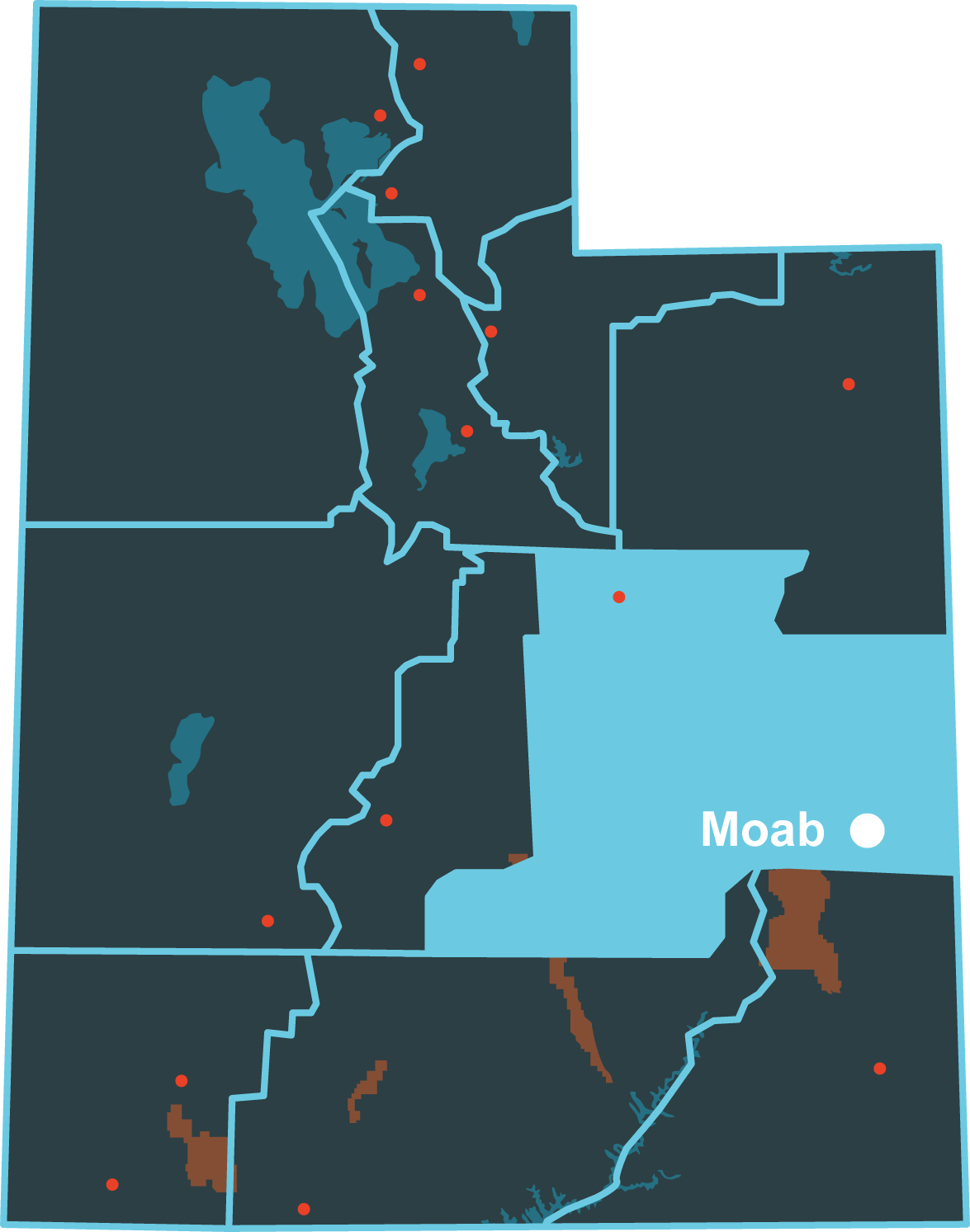
Location
Get DirectionsMoab Weather
Average Temperature
Average Precipitation
Average Snowfall
Articles
View All7 Crazy-Awesome Natural Arches & Bridges in Utah
Utah is home to some of the most spectacular natural bridges and sandstone arches. Check out these s...
An Unforgettable Utah Vacay? Lead the Way
Led by locals, these guided tours of national parks and other outdoor spaces are an authentic, affo...
Plan a Guys Getaway in Vernal
Planning a guys trip? Why not hit the ATV trails in Vernal, Utah with your crew? With all kinds of w...
Moab: Basecamp for Arches & Canyonlands
Find things to do in Moab, Arches, and Canyonlands Utah. Visit Utah.com to find the best hiking, bik...
Show Mo Love for Moab
Planning an escape to Moab? Brush up on the written and unwritten rules of the outdoors to protect M...
Naturalist Kid Scavenger Hunt in Arches National Park
Use this scavenger hunt to help kids of all ages enjoy their trip to Arches National Park. Learn the...
4 Sites South of Moab You Never Knew Existed
There are plenty of things to do near Moab but most of them are crawling with travelers. Here are fo...
Moab Family Itinerary
Follow this three day trip itinerary through Moab and Arches National Park. Choose from hikes, mount...
One Stop for Nonstop Adventure With Moab Adventure Center
Moab Adventure Center can help you plan the perfect vacation in Moab, Utah. Find guided activities l...
Top 10 Things to Do in Moab
Moab is an outdoor paradise. From hiking to off-roading and river rafting the Utah.com crew dishes o...
Moab Rafting Itinerary
If you're planning a rafting trip near Moab Utah, follow this rafting itinerary to choose from multi...