Cassidy Arch Trail
Named after the famous Butch Cassidy, Cassidy Arch is located in the central portion of Capitol Reef National Park, specifically just within the western walls of Grand Wash, beside the Scenic Drive. The arch trail is a spur off of the larger Frying Pan Trail, a route that climbs northeast atop the Waterpocket Fold before dropping down into Cohab Canyon and onto Highway 24.
Trail Head: 38.255895, -111.232806
Trail Type: Hiking
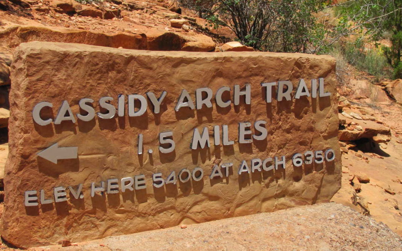
Length: 3.5 miles round trip
Difficulty: Moderate
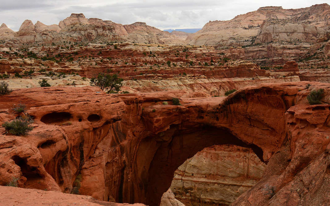
The arch is large and spectacular, photogenic at almost any angle. It sits 400 feet above the Scenic Drive and the Grand Wash Trail, offering a pleasant diversion on any trip. The climb is steep, but worth the visit.
The Grand Wash connects to the Scenic Drive at this point, two miles south of Fruita. Just under 300 yards from the Scenic Drive, there is a parking area that serves as the de facto trailhead to the wash. The arch is actually visible from the road below.
Cassidy Arch Trail forks out of Grand Wash about three quarters of a mile from the parking area.
The Frying Pan Trail branches off of the Cassidy Arch Trail after 1.1 miles, and heads up toward Cohab Canyon. There are many viewpoints points along the rim of the gorge, accessible from the Cassidy Arch and Frying Pan Trails.
The Cassidy Arch Trail ends above the arch itself, offering great photo opportunities from a higher vantage point. There are no official routes to reach the base of the arch.
Cassidy Arch Trail | Photo Gallery


Cassidy Arch Trail
Location
Get DirectionsCapitol Reef Weather
Average Temperature
Average Precipitation
Average Snowfall
Articles
View All5 Stunning Sites in Capitol Reef National Park
Capitol Reef may be one of Utah's lesser-known national parks, but it has plenty of things to do.
9 Reasons Your Next Glamping Trip Should Be in Capitol Reef
Glamping is one of the best ways to enjoy Capitol Reef. Check out some of the reasons you need to tr...
Capitol Reef – Explore The Ancient Splendor, Modernly
Check out these amazing places to stay near Capitol Reef. Find cabins and glamping areas plus outdoo...