Cohab Canyon
Cohab Canyon is a popular destination atop the Waterpocket Fold in Capitol Reef National Park. The lower end of the canyon drops down into the gorge beside Highway 24, while the upper end overlooks the historical community of Fruita. The trail connects to the Frying Pan Trail, which in turn links with the Cassidy Arch Trail in the Grand Wash, offering a detailed tour of the northern section of the Waterpocket Fold.
Trail Head: 38.282757, -111.248502
Trail Type: Hiking
Length: 1.56 miles one way
Difficulty: Moderate
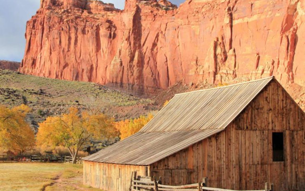
Fruita is a historic town that is well known for its orchards. Now used by the park service to both educate and attract tourists, the town offers museum-quality exhibits from the pioneer era.
The trail begins above the town of Fruita, climbing up the steep side of the Waterpocket Fold, and into the mouth of Cohab.
The first part of the trail climbs to the upper base of the canyon, some 0.45 mile away, and nearly 400 feet above Fruita. There hikers find themselves within the walls of Cohab Canyon, which slopes downward at a decent grade to Highway 24 to the northeast.
Frying Pan Trail comes in from the south, in the vicinity of Cassidy Arch. It crosses the irregular, raised surface of the Waterpocket Fold between Grand Wash and Highway 24. The two viewpoint spur trails start only a few dozen yards back up the canyon from the Frying Pan junction. Both viewpoints climb the ridge to the west of the canyon and look out over the Fruita area.
The end of the trail is on the south side of Highway 24, just below the Hickman Bridge Trailhead. Unless hikers are willing to hike back up the canyon for a total of 3.12 miles, or are intent on going another route back, such as by the Frying Pan Trail, they will need a shuttle vehicle to pick them up at the northeast end of the trail.
Cohab Canyon | Photo Gallery


Gifford Homestead in Capitol Reef National Park