Wildcat Canyon
Wildcat Canyon is a wide, rocky canyon just south of the Lava Point Campground in the Kolob Terrace section of the park. Wildcat is used extensively as a connector to many other trails (thus its name, the Wildcat Canyon Connector Trail). From this trailhead, backpackers, canyoneers, and hikers have great access to such locations as the upper Right Fork of North Creek, the Subway in Left Fork, the West Rim Trail, Phantom Valley and, of course, Wildcat Canyon itself.
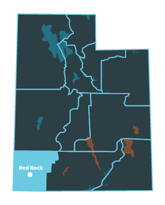
Trail Head: 37.339954, -113.075776
Trail Type: Hiking, Canyoneering, Backpacking
Length: 10.5 miles round trip
Difficulty: Strenuous
Hiking from Wildcat Canyon to Lava Point and back is fairly straightforward. But there are many other options for hikers. Both the Left Fork and the Right Fork are attractive candidates for a high-adventure trip, and Wildcat Canyon itself descends into Phantom Valley, a beautiful, deep valley below the West Rim Trail and the Horse Pasture Plateau.
This trailhead is located 6.7 miles southwest of Kolob Reservoir, along the Kolob Reservoir Road. Pocket Mesa is directly to the northeast of the parking lot.
Wildcat to Lave Point can be done as a one-way hike with shuttle, or an out-and-back. The Lava Point Trailhead is the jumping-off-point for many Kolob Terrace adventures.
The top end of Russel Gulch is accessed from the Northgate Peaks Intersection with the Wildcat Canyon Trail. (Descending Russel Gulch is a difficult, technical canyoneering adventure.) The gulch drops along the west side of a large mesa that separates Russell from Wildcat Canyon. The south side of the mesa drops off to a wide saddle that can be crossed if visitors wish to drop into Wildcat. Hikers can come off the mesa into the lower end of Russel Gulch, near its confluence with the Left Fork, to gain access to the Subway slot. If visitors wish to scramble and wade their way through the Subway, they must first obtain a permit, and must plan on getting wet.
This is an awesome canyon that most people prefer to enter from the bottom up, starting at the Right Fork Trailhead on Kolob Reservoir Road near its junction with the Smith Mesa Road. Most hikers go only as far as Barrier Falls. Alternatively, some canyoneers enter right Fork from the top, beginning at the Wildcat Canyon Trailhead. This route is technical, with multiple points that require rappelling. Either way will require wading.
Canyoneers coming down The Subway usually end at the Left Fork Trailhead, along the Kolob Reservoir Road. Just a little further south, the Right Fork Trailhead provides access to that canyon, and serves as the end point for canyoneers descending the Right Fork from the top.
Location
Get DirectionsZion Weather
Average Temperature
Average Precipitation
Average Snowfall
Articles
View AllZion National Park Itinerary for All Ages
Need a plan for traveling to Zion National Park? Check out this three-day Zion itinerary that's suit...
HOW TO KEEP ZION NATIONAL PARK ALL TO YOURSELF & YOUR ENTIRE GROUP
Want to get the most out of Zion National Park? Try visiting in the off season between fall & spring...
Top 10 Things to Do at Zion National Park
Check out this list of the top 10 things to do and see in Zion National Park. Follow this guide to f...
Naturalist Kid Scavenger Hunt Zion National Park
Use this scavenger hunt for kids on your next trip to Zion National Park to identify plants and anim...
Zion, Escalante AND Bryce? Thrice as Nice.
Explore three of Utah's most famous national parks with a guided itinerary from Wildland Trekking.