Hiking - Calf Creek Falls Lower
Named for its use as a natural pen for calves back in the late 1800’s and early 1900’s, the creek remained relatively unknown as a tourist destination until the formation of the Grand Staircase-Escalante National Monument, under the Clinton administration.
⛔︎ Note: LOWER CALF CREEK FALLS WILL BE CLOSED FOR TWO MONTHS THIS SUMMER (2024).
Get the latest updates on the monument's website. Read more about the closure in this article.
Trail Head: 37.794049, -111.414733
Trail Type: Hiking
Length: 5.84 roundtrip
Difficulty: Moderate
CALF CREEK CAMPGROUND
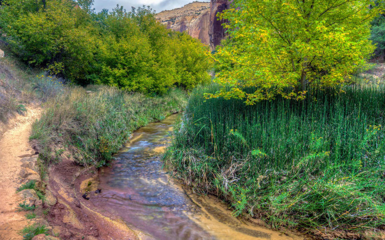
Located at the campground in the Calf Creek Recreational Area, there is a parking fee for the parking lot, and a camping fee in order to stay overnight. The trail sets off to the north, away from the campground. Though mostly level, the trail frequently crosses vast sandy tracts that can make it difficult for some to navigate. About a mile and a half up the canyon, on the east wall quite high up rest two Fremont granaries and a group of pictograph panels, dated to approximately AD 1200.
LOWER CALF CREEK FALLS
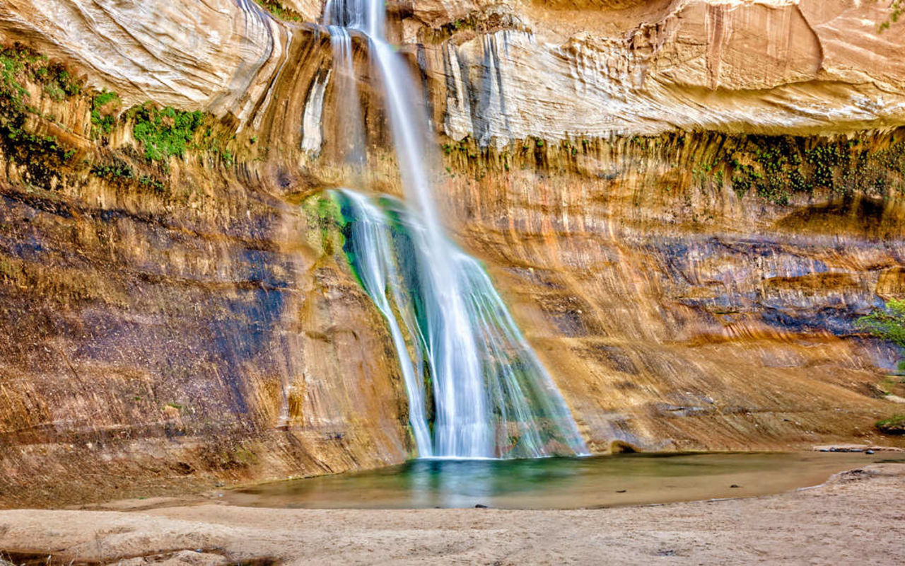
The lower falls are 130 feet high, with a deep swimming hole underneath them. The entire creek is surrounded by greenery, but particularly underneath the spray of the waterfall. The lower falls are the most famous out of the two waterfalls on Calf Creek, and attracts many visitors every year.
UPPER CALF CREEK FALLS
The Upper calf Creek Falls are 88 feet high, and though they do not have nearly the quantity of water spilling over the edge that the lower falls have, the waterfall is still an impressive sight. Swimming is possible here as well, and with the smaller crowd, more relaxing. Click here for a map and other details.
Calf Creek Falls - Lower | Photo Gallery

