Escalante Canyon Outstanding Natural Area
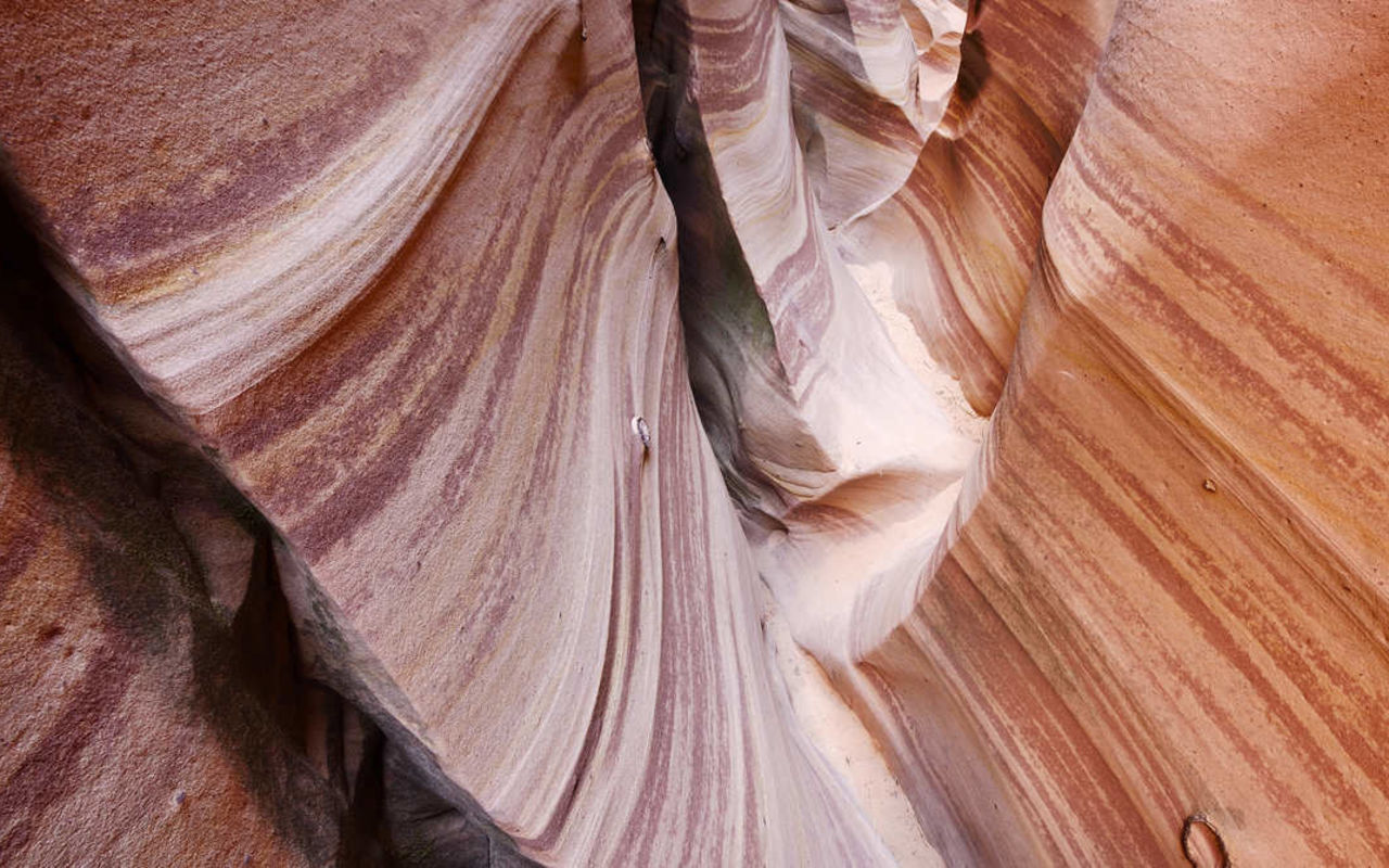
Shimmy through sandstone slots. Wander past waterfalls. Drive on a stunning stretch of road that serpentines along the top of a steep ridge. Explore Escalante.
One of three areas within Grand Staircase-Escalante National Monument, Escalante Canyons home to some of the most memorable hikes in Utah … or the world. It also boasts some unforgettable drives. Highway 12 Scenic Byway smoothly winds from Escalante to Capitol Reef National Park, while the b-b-b-bumpy Hole-in-the-Rock Road offers countless recreation opportunities. Read more...
Escalante Canyon | Photo Gallery


Escalante Canyon
Things to See and Do in Escalante Canyons
Rugged and remote, the Escalante River basin is a hardcore backpacker’s paradise. But even if you aren’t a gram-counting fanatic who enjoys sleeping on an ultralight inflatable pillow, there are still plenty of organized campgrounds, day hikes and other recreational opportunities in the area.
Whatever you do, wherever you go in this vast national monument, make sure you’re prepared for the conditions, mmm-kay? Food, fuel and lodging are available in the nearby communities of Escalante and Boulder.
Geological Features
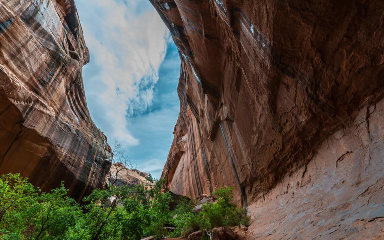
Parts of the Escalante Canyons Outstanding Natural Area, including the Aquarius Plateau, sit above 11,000 feet, while the lower portion empties toward Lake Powell at 3,700 feet. This makes the scenery as diverse as a bag of Gardetto’s Snack Mix (before your 13YO picks out everything but the rye chips that “taste like bark”). Ancient geological activity and erosional forces, both past and present, have created:
- Slot canyons
- Arches
- Natural bridges
- Plateaus
- Monoliths
- Pedestals and balanced rocks
- Domes
- Buttes
- Volcanic bounder fields
- Ironstone concretions
Hiking
Cruising along Highway 12 Scenic Byway from Escalante to Capitol Reef (or vice versa)? Turn off when you see signs for the Escalante River Trailhead and stretch your legs. A 3.2-mile roundtrip hike takes you to Escalante Natural Bridge.
The trailhead for Lower and Upper Calf Creek Falls is just a few minutes up Highway 12 from the Escalante River Trailhead. While many hikes in Escalante Canyons are better suited for spring and fall when the Escalante weather is cooler, the mist from Calf Creek Falls is refreshing on a hot summer day. Both the upper and lower waterfalls sport swimming holes at the base of the falls as well.
More hikes are accessible from Hole-in-the-Rock Road. Spooky and Peekaboo slot canyons combine to make a 3.5 loop you’ll love … unless you’re claustrophobic. Less than (gasp!) 12 inches separates the walls in some places.
Though its name implies a long hike, Twenty Mile Dinosaur Trackway is only 1.2 miles out and back. Hundreds of dino imprints can be seen on the yellow layer of a sandstone cliff on the trail.
Devils Garden Outstanding Natural Area is another short but sweet hike accessed from Hole-in-the Rock Road. The 0.7-mile loop passes Metate Arch and Mano Arch, as well as hoodoos, mushroom rocks and miniature domes.
When you see some water tanks, you know you’re almost to the Coyote Gulch trailhead. At 11.5 miles roundtrip, Coyote Gulch is one of the more difficult day hikes in the Escalante Canyons area, and many people choose to make it an overnighter.
Golden Cathedral is the subject of one of the most recognizable Grand Staircase-Escalante photos. The 9.4-mile hike is difficult, but definitely worth it. Stay a while (even overnight) to see the geological formation in different lights.
Camping
Accessible via Hells Backbone, Posy Lake Campground is located in Dixie National Forest next to (you guessed it) a small lake. Reservations for its 20 sites can be made through Recreation.gov. A little further up the road from Posty Lake is Blue Spruce Campground, with a handful of sites that are first come, first served.
Calf Creek Campground is located 15 miles east of Escalante on Highway 12. Reservations for its 13 sites can be made through Recreation.gov. Note: Beginning July 2024, the Calf Creek Recreation area will have several short-term closures as the campground is renovated, shade structures are replaced, etc. Check the BLM website for exact dates and the most current updates.
Dispersed camping is allowed in Escalante Canyons. People often find secluded spots off Hole-in-the-Rock Road or Burr trail Road. Wherever you decide to call home-sweet-roam for the night, be sure to pack out whatever you pack in and dispose of human (and animal) waste properly.
Scenic Drives
Highway 12 Scenic Byway — the only All-American Road in Utah — offers 120(ish) miles of jaw-dropping views and hidden gems. Even if you don’t drive its entire length, be sure to drive under the red-rock arches near Bryce Canyon and over the stretch dubbed The Hogback that runs between the towns of Escalante and Boulder.
About half of the Burr Trail Scenic Backway’s 66.2 miles are paved, but a stretch inside Capitol Reef National Park is graded dirt and only accessible with a 4WD vehicle.
Though it takes about two hours to drive, the 38-mile loop known as Hells Backbone will get your adrenaline flowing faster than any rollercoaster.
Offroading
Some areas of Grand Staircase-Escalante National Monument are open to OHV use. Sheer canyon cliffs and generally rough terrain restrict OHV use in many locations, however. Contact the BLM office in Escalante for information on areas suitable for your type of OHV use. Within Glen Canyon National Recreation Area, all motorized and non-motorized vehicles are restricted to maintained roads.
Nearby Attractions
Call it a basecamp, a gateway town or a hub sporting plenty of picturesque spokes. Within 100 miles of Escalante you’ll find:
- Escalante Petrified Forest State Park | 2.3 miles
- Anasazi State Park Museum | 27.7 miles
- Kodachrome Basin State Park | 41.1 miles
- Bryce Canyon National Park | 59 miles
- Capitol Reef National Park | 67.3 miles
- Cedar Breaks National Monument | 98 miles
Visitors often stumble upon the Escalante-Boulder area on their way to visit its more famous neighbors. But it truly is a destination in and of itself. Why not incorporate Escalante in a Utah road trip?
Bryce Canyon is a mere four hours from Salt Lake City. After you’ve seen the highest concentration of hoodoos in the world (who knew!), keep driving on Highway 12 Scenic Byway to Kodachrome Basin to Escalante to Capitol Reef. Thrice as nice, am I right?
Escalante Weather
Grand Staircase-Escalante National Monument has a temperate, arid climate. It averages about 10 inches of rain annually. November through March tend to be the rainiest/snowiest months. Always check weather conditions — no matter what time of year it is — before hiking or driving in this area.
Flash floods are possible after rainstorms, which can render roads impassable and slot canyons deadly. Even rainstorms far upstream can be dangerous for hikers in a downstream canyon. Travelers should have an emergency kit in their vehicles that includes tow chains, a shovel, a first aid kit, a flashlight, extra water, food and gas.
Summer
From June through early September, Fahrenheit temps range from the mid-60s to the upper 90s. Thunderstorms bring sudden temperature changes in addition to intense bursts of rain.
Fall and Winter
Things start to cool off in October and November, with an average low of 31 degrees Fahrenheit and an average high of 61.
Escalante’s weather in winter months ranges from temps in the teens (doesn’t matter if it's 13 or 18 … cold is cold is cold!) and highs in the mid- to upper 40s.
An average of 28 inches of snow falls each year, beginning in October or November and ending in March or April.
Spring
By April and May, the weather in Escalante is pleasant again. Highs range from 65-75, while the lows are above freezing. No more cheek clenching! This may be the best time of year to visit Grand Staircase-Escalante.
Area Administration Information
The public lands of the Escalante Canyons are administered by the Bureau of Land Management. The National Park Service manages lands within the Glen Canyon National Recreation Area and Capitol Reef National Park boundaries and the Forest Service administers lands within the Dixie National Forest boundary. Use regulations may vary between these agencies. For more information, contact the appropriate agencies.
Bureau of Land Management Escalante Resource Area,P.O. Box 225, Escalante, Utah 84726 Phone: 435-826-4291. The office is located .5 mile west of the Town of Escalante on the south side of Highway 12.
National Park Service Glen Canyon N.R.A. Escalante District, P.O. Box 511, Escalante, Utah 84726 Phone: 435-826-4315. The office is located next to BLM office .5 mile west of the Town of Escalante on the south side of Highway 12.
Dixie National Forest Escalante Ranger District, P.O. Box 245, Escalante, Utah 84726 Phone: 435-826-4221. The office is located on the north side of Highway 12 in the Town of Escalante.
REQUEST INFORMATION
TRAVEL BUREAU INFORMATION
GARFIELD COUNTY TOURISM BUREAU
55 S Main St.
Panguitch, UT
800-444-6689
ESCALANTE INTERAGENCY VISITOR CENTER
755 W Main St.
Escalante, UT 84726
KANE COUNTY OFFICE OF TOURISM
78 South 100 East
Kanab, UT 84741
435-644-5033
Things to Do
Escalante Weather
Average Temperature
Average Precipitation
Average Snowfall
Articles
View AllHappy Trails in Piute County
What do Delano Peak, the Paiute ATV trail and Butch Cassidy all have in common? Utah’s Piute County,...
8 Secrets to Sustainable Travel in Park City
Want a big adventure to Park City without a big environmental footprint? Utah.com can help you explo...
Utah County Is Festive As Heck
Fireworks, parades and corn on the cob — oh my! Utah.com has the scoop on the best festivals and fai...
Natural Bridges National Monument: A Hidden Gem, Not a Second Fiddle
An under the radar destination that should be on your radar. Learn all about Natural Bridges, Utah a...
Plan a Guys Getaway in Vernal
Planning a guys trip? Why not hit the ATV trails in Vernal, Utah with your crew? With all kinds of w...
Treat Yourself to a (San Rafael) Swell Winter
The San Rafael Swell is one of Utah’s hidden gems, and it gets even more hidden in the winter. Utah....
Plan a Triathlon of Fun in Greater Zion
Looking for things to do in St. George this fall? In addition to the IRONMAN 70.3 World Championship...
Color Me (Insert Emotion Here): Where to See Cedar City’s Feel-Good Fall Foliage
Richly hued views await you in southern Utah this autumn. Peep the changing leaves on a scenic drive...
Play Outside and See a Play Outside in Cedar City
Take a visit to Cedar City, Utah, and see why its access to both world class theater and stunning ou...
Mapping Out Utah’s Tastiest Cuisine
Getting to know the Beehive State means experiencing its sites and unique flavors. Discover both whe...
Get Your Peach Thrills in Box Elder County
Utah’s Box Elder county is a peachy paradise — part mountain range, part desert, part orchard and al...
9 Highest Peaks Across Utah
Take a peek at the tallest peaks in Utah. From Kings Peak to the Deep Creeks, Utah.com gets to the t...
Paving the Way for Everyone: All-Access Trails in Utah
From a wheelchair accessible waterfall trail to a lakeside boardwalk laden with wildflowers, these U...
Local Legends in Utah
Ever been curious about urban legends in Utah? Utah.com fills you in all things folklore with our gu...